

 Image 1 of 5
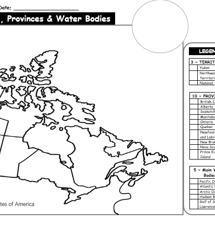 Image 2 of 5
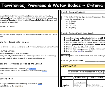 Image 3 of 5
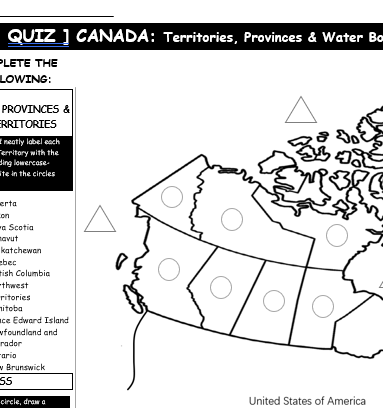 Image 4 of 5
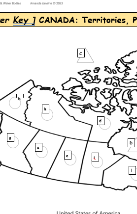 Image 5 of 5
GRADE: 4-7 / TIME: About 1 Week + Quiz
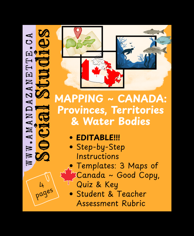
SS ~ MAPPING ~ CANADA: Provinces, Territories & Water Bodies (4 pages)
Explore Canada with this hands-on, student-friendly Map of Canada activity!
Perfect for Grades 3–7, this engaging lesson helps students learn the names and locations of Canada’s provinces, territories, and surrounding water bodies, while introducing key geography skills like using a map legend and drawing a compass rose.
Students will follow clear, step-by-step instructions to label, colour, and complete their own map of Canada, then reflect on their learning using a simple self-assessment. This resource includes everything you need: a good copy map with legend, a quiz version for review, an answer key map, and both student and teacher rubrics for easy assessment. All materials are print-and-go ready!
Great for Social Studies, Geography units, early finishers, homeschool or as a substitute-friendly activity!
TIPS: Print as 11 x 17 but you may want to shrink the quiz and answer key.
Younger Kiddos:You don’t have to print these instructions. You can teach one step at a time on the board to help younger students focus. This works well for any student who benefits from less information at once. Just give them the map to start! The quiz could be used in partners to have students working together to see what they remember!
Challenge:For students looking for a challenge ~ remove the names of the Provinces, Territories and Water Bodies (in the legend) with white out / lay white paper on top, and have students research this part on their own instead. Students can also add important mountain ranges, Capitals, seas or other water bodies to their map.
GRADE: 4-7 / TIME: About 1 Week + Quiz
SS ~ MAPPING ~ CANADA: Provinces, Territories & Water Bodies (4 pages)
Explore Canada with this hands-on, student-friendly Map of Canada activity!
Perfect for Grades 3–7, this engaging lesson helps students learn the names and locations of Canada’s provinces, territories, and surrounding water bodies, while introducing key geography skills like using a map legend and drawing a compass rose.
Students will follow clear, step-by-step instructions to label, colour, and complete their own map of Canada, then reflect on their learning using a simple self-assessment. This resource includes everything you need: a good copy map with legend, a quiz version for review, an answer key map, and both student and teacher rubrics for easy assessment. All materials are print-and-go ready!
Great for Social Studies, Geography units, early finishers, homeschool or as a substitute-friendly activity!
TIPS: Print as 11 x 17 but you may want to shrink the quiz and answer key.
Younger Kiddos:You don’t have to print these instructions. You can teach one step at a time on the board to help younger students focus. This works well for any student who benefits from less information at once. Just give them the map to start! The quiz could be used in partners to have students working together to see what they remember!
Challenge:For students looking for a challenge ~ remove the names of the Provinces, Territories and Water Bodies (in the legend) with white out / lay white paper on top, and have students research this part on their own instead. Students can also add important mountain ranges, Capitals, seas or other water bodies to their map.